Our staff has a long history in completing topographic surveys. We use GPS surveying units that are accurate on a global scale, down to fractions of an inch, to ensure correct readings and deliverable products for any industry.
Combining these surveys with the technical process of civil and agricultural engineering, our staff is capable of everything from on-site surveying to design to verification of construction management. Our main deliverables on surveys include:
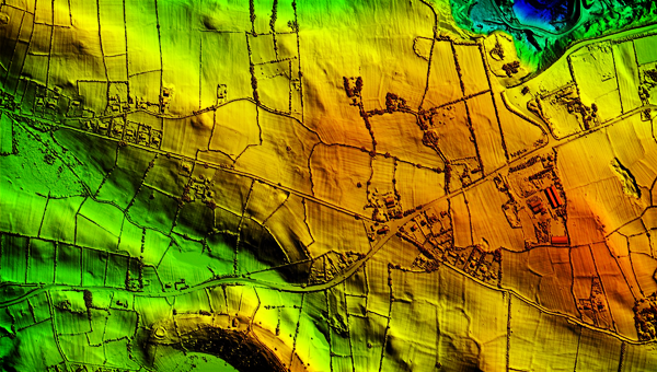
LiDAR is a new technology that is continually advancing. As LiDAR imaging capabilities continue to grow, we are increasingly using this option for large surveying requirements. Contact Us today to determine if LiDAR surveying is an option for your project.